
We will shortly be undertaking a Floating LiDAR survey to support the Morecambe Offshore Windfarm project.
4 December 2025
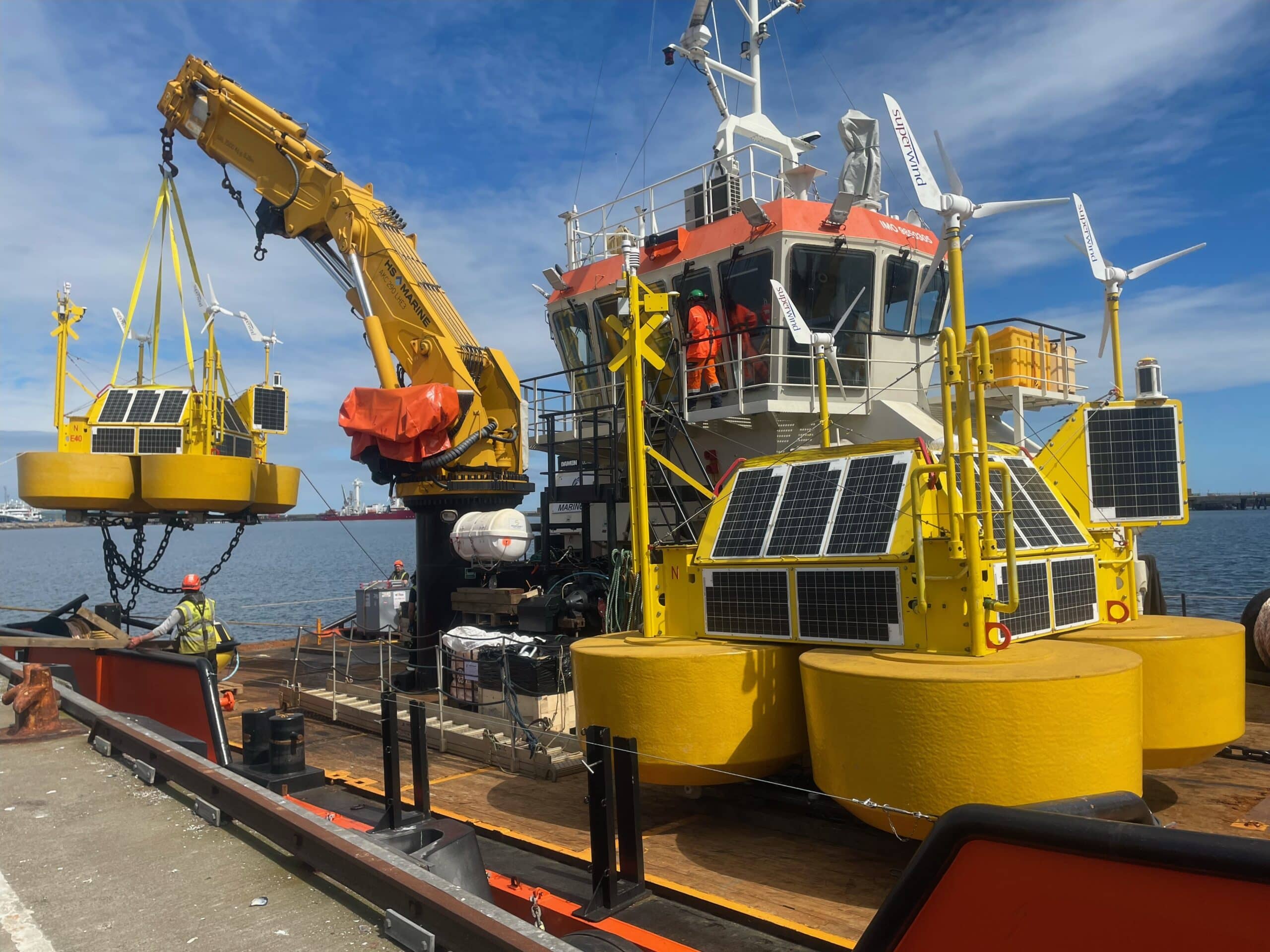
The purpose of this survey is to enhance our understanding of site conditions by collecting key oceanographic data, including wind strength and direction. This will be achieved using a Floating LiDAR system, which employs laser technology to measure environmental conditions—such as wind speed and direction—at multiple heights.
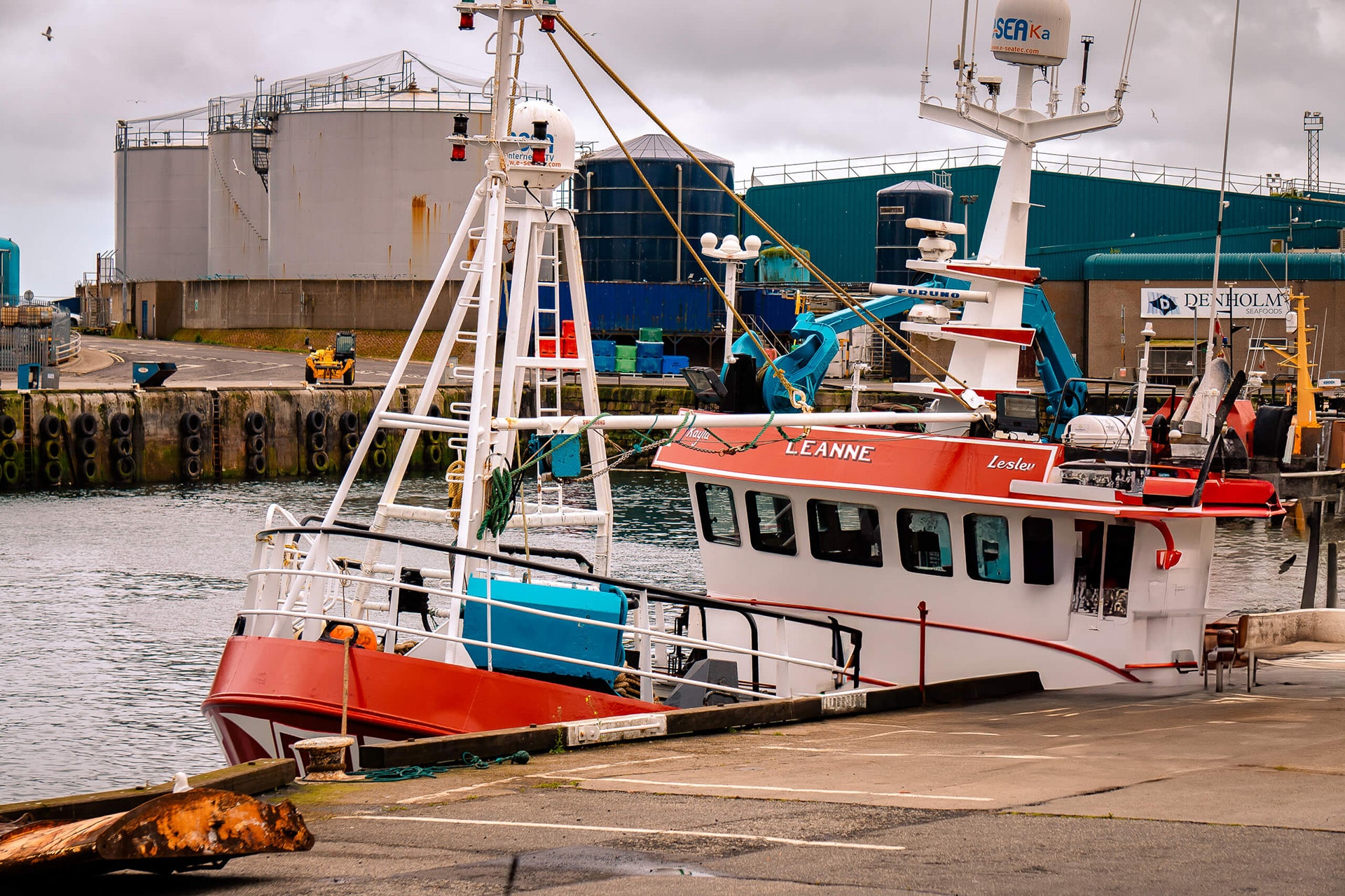
The survey vessel responsible for deploying the Floating LiDAR is currently scheduled for mobilisation on 5 December 2025 (image above for illustration purposes only). Once deployed, the LiDAR unit is expected to remain in place for up to 18 months. Subject to suitable weather conditions, the deployment is planned to be completed during a single vessel visit.
The deployment location has been carefully selected to account for site constraints and required exclusion zones. We can therefore confirm that the Floating LiDAR will not be installed over existing cables, nor within 250 metres of any cable route.
Full details can be found in the Notice to Mariners (NtM) here.